Route notebook
Maps, access and route research in Alsace and beyond.
19 articles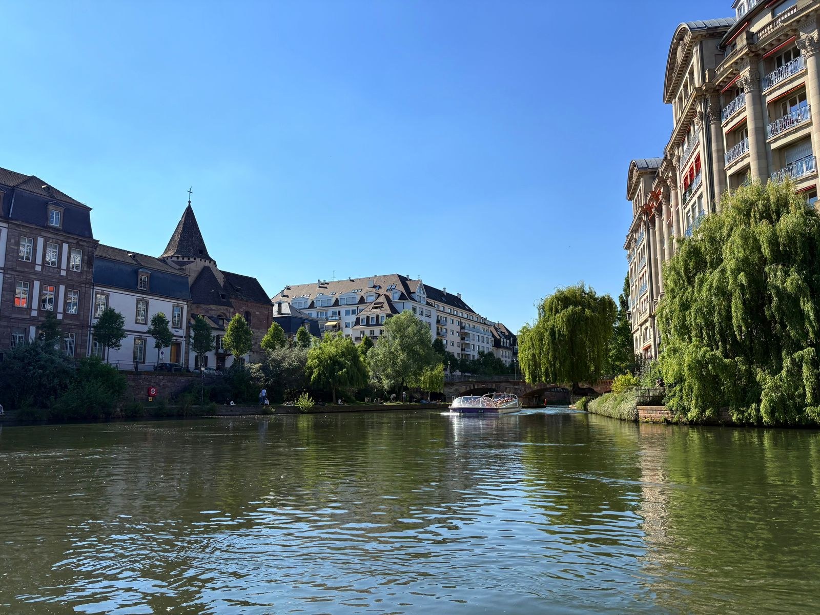
Plan a Strasbourg canal-side running outing
A canal can make a route easy to follow, but the access points and return options still need attention. Build a Strasbourg outing around a checked section rather than an assumed continuous loop.
Read article ↗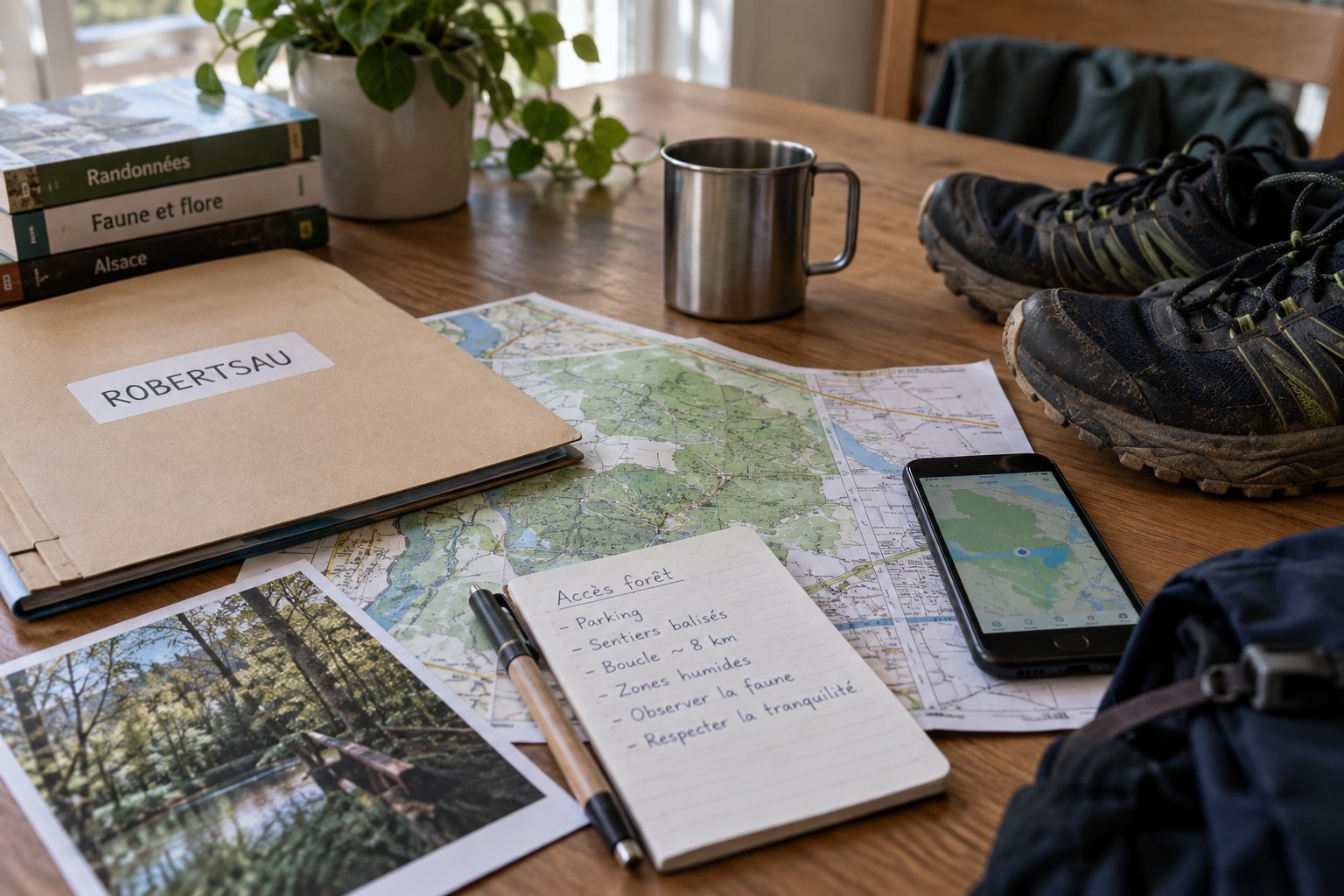
Check access before running in the Forêt de la Robertsau
Before selecting a running loop in the Robertsau forest, identify the reserve’s current access information. A familiar place name does not establish that every entrance or path is available.
Read article ↗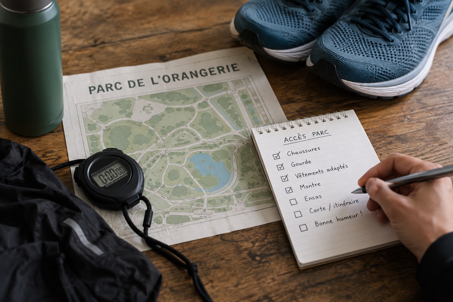
Use the Parc de l’Orangerie for a flexible outing
A park outing can stay flexible when the route is built around recognisable paths and an easy return. At the Orangerie, begin with the current park information and the entrance you will use.
Read article ↗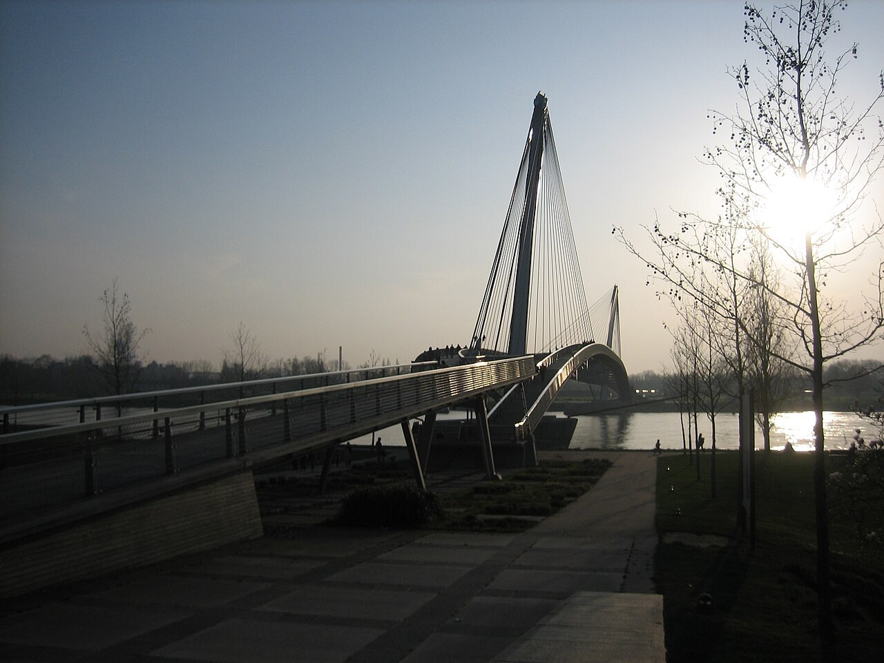
Plan a cross-border run near the Jardin des Deux Rives
The Jardin des Deux-Rives links the Strasbourg and Kehl sides of the Rhine. Plan the crossing, return and meeting points as carefully as the waterside section.
Read article ↗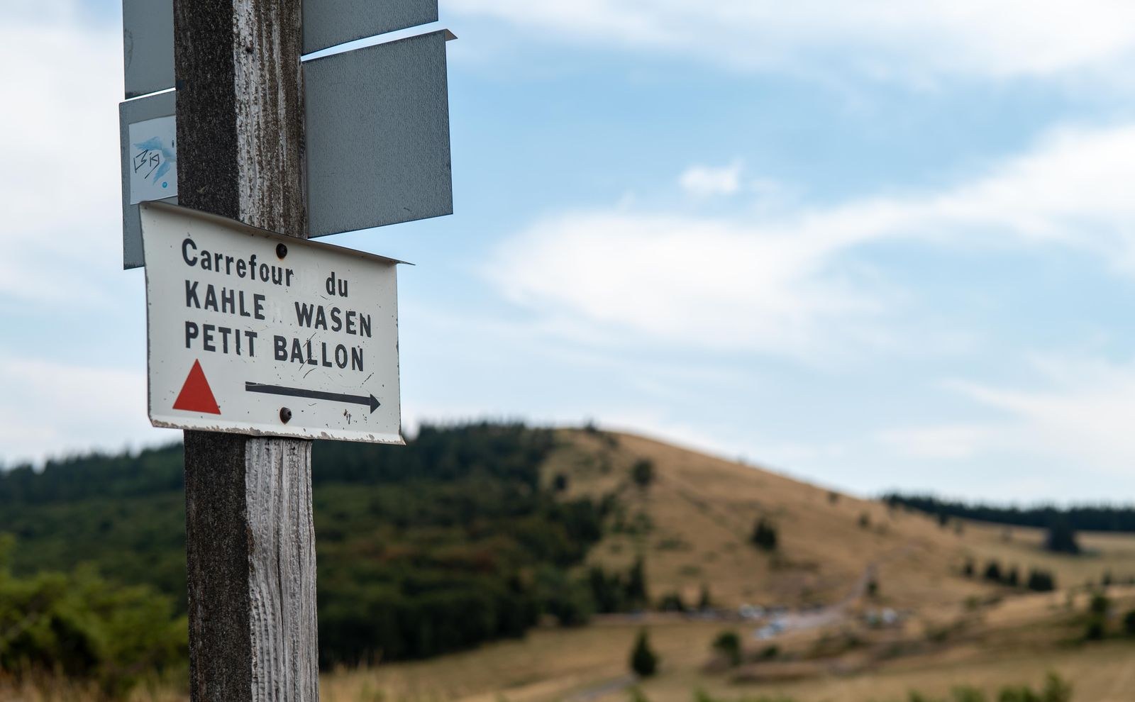
Prepare a Vosges trail day from Strasbourg
A trail day from Strasbourg has two routes: the journey to the hills and the outing itself. Plan them together, with a realistic return and an alternative if conditions change.
Read article ↗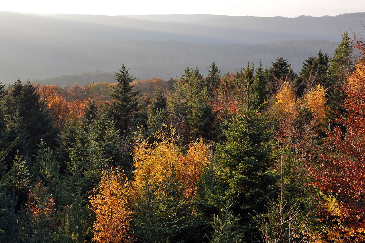
Research a route near Mont Sainte-Odile
A route near Mont Sainte-Odile needs more than a summit name. Identify the exact approach, the paths you intend to use and the place where you will turn back.
Read article ↗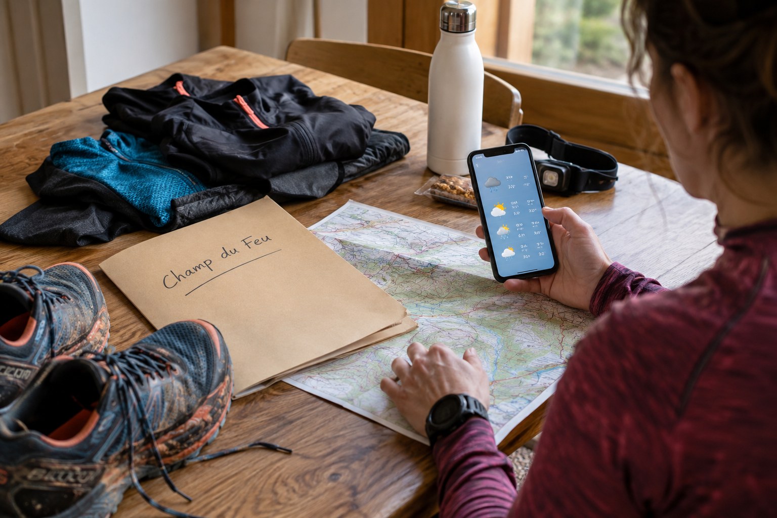
Check a Champ du Feu outing before departure
A Champ du Feu outing should begin with an access and conditions check, not with the assumption that a saved summer track is suitable today.
Read article ↗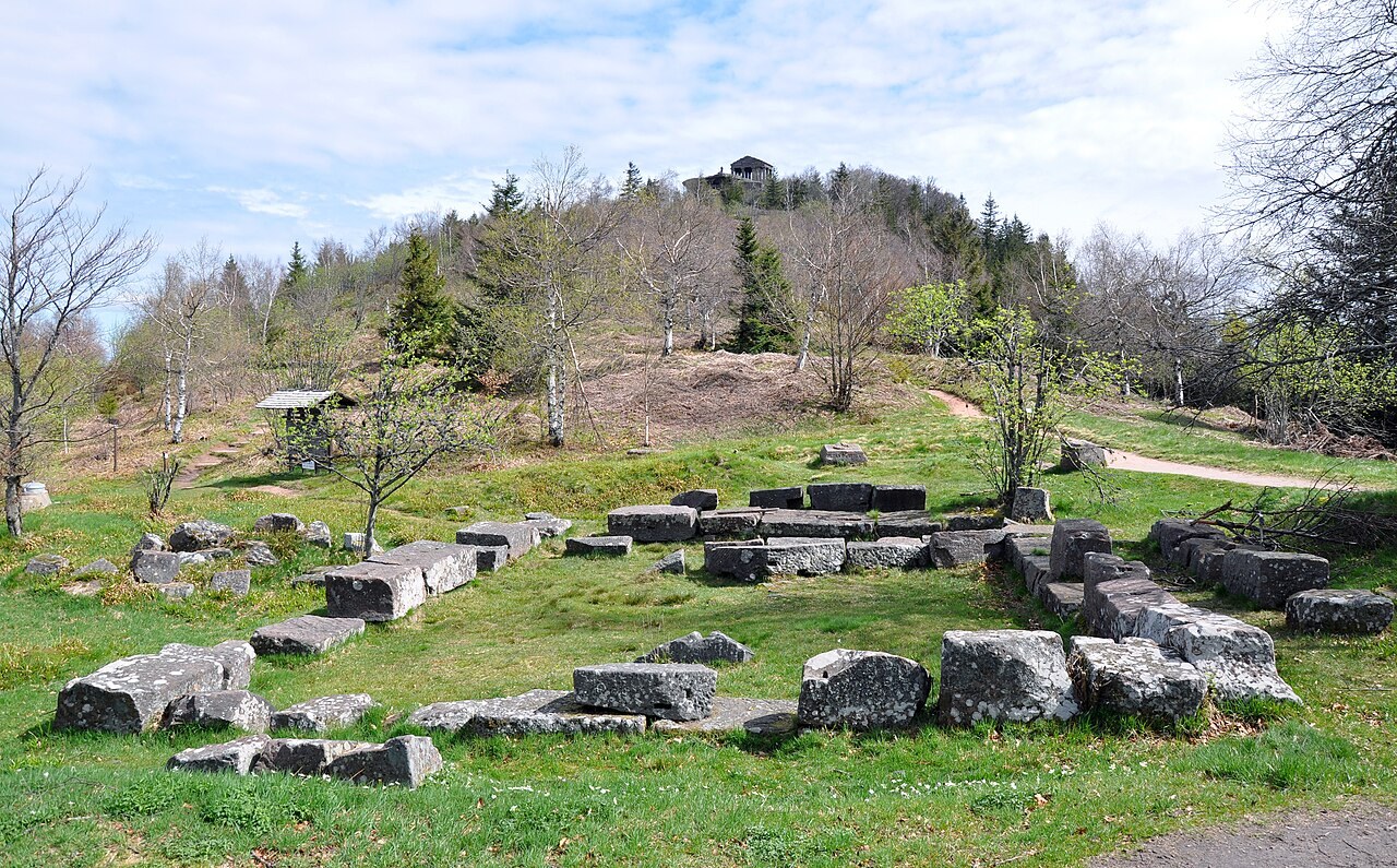
Plan around the terrain near the Donon
A visit near the Donon is easier to plan when the summit, the starting point and the chosen path are treated as separate pieces of information.
Read article ↗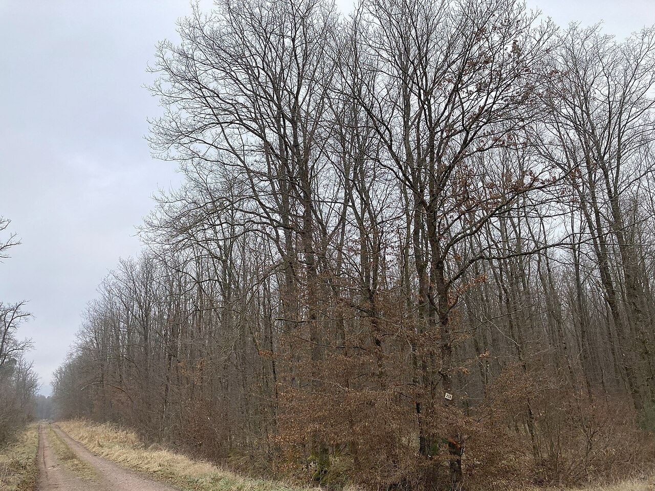
Research woodland paths around Saverne
Saverne offers several starting points for woodland exploration. Choose one identifiable circuit to investigate before joining attractive fragments into a longer run.
Read article ↗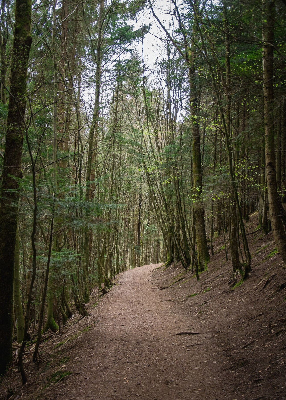
Treat a Nideck outing as terrain research first
An outing with the Nideck waterfall and ruins in mind needs more preparation than choosing a scenic photograph. Treat the first visit as a chance to understand the approach, terrain and return.
Read article ↗