Choose the area before collecting tracks
Begin with the kind of day you can organise: travel time available, transport, daylight and experience on the intended terrain. The Vosges cover more than one convenient starting point, so do not treat the whole massif as a single destination. Select an area and use its official visitor and route information to understand the access before downloading several attractive tracks.
Choose one primary outing and one simpler alternative. The alternative should answer a specific problem, such as a shorter weather window or an unsuitable exposed section. It is not enough to save another route of similar difficulty and call it a backup. A useful fallback is something you can understand and reach without starting the entire planning process again.
Connect the transport to the actual trailhead
Place your arrival point and the trailhead on the same map. If using a train, the station is not necessarily where the path begins. If driving, a car park label does not prove that the approach road or parking area is currently available. Check the final connection and account for any walking before the planned trail section.
For public transport, look at the return first as well as the outward service. Identify a realistic connection and a later option where one exists. Do not build the day around reaching the last service with no margin. Save the operator’s current timetable or journey details and check for changes close to departure.
If several people travel together, agree who holds the keys, where the vehicle will remain and what happens if the group shortens the outing. A point-to-point run can require a different arrangement from a loop. Make that distinction explicit before someone assumes the car will be waiting at the far end.
Read terrain and weather as one decision
Inspect the map, height profile and route description together. Identify the sections that may require walking, careful footing or a decision about continuing. An average road-running pace does not provide a reliable schedule for an unfamiliar trail day. Leave room for navigation, stops and slower movement instead of treating them as unexpected failures.
Consult the relevant current weather forecast and any official warnings for the area, not only the forecast for Strasbourg. The city’s conditions are not a description of the planned high ground. Choose your clothing and equipment for the route and possible delay, and be prepared to change the destination rather than forcing a saved plan to fit the weather.
Make the return part of the route
Mark the point at which you will turn back or take the shorter option if progress is slower than expected. Know where that option actually leads. A line descending towards a valley is not automatically a usable escape route, and a settlement on the map does not guarantee transport at the moment you arrive.
Tell a contact the chosen route, starting point and intended return arrangement. Explain how you will update them if the plan changes. Keep enough information available offline to understand the route if a phone connection is absent, and do not depend on a single screenshot that leaves out the surrounding paths.
Leave a usable record afterwards
Once home, note the connection between transport and trail, the terrain you actually encountered and any decision point that was difficult to identify. Date the notes. A successful visit gives you experience of that day’s conditions, not a permanent assurance about the route.
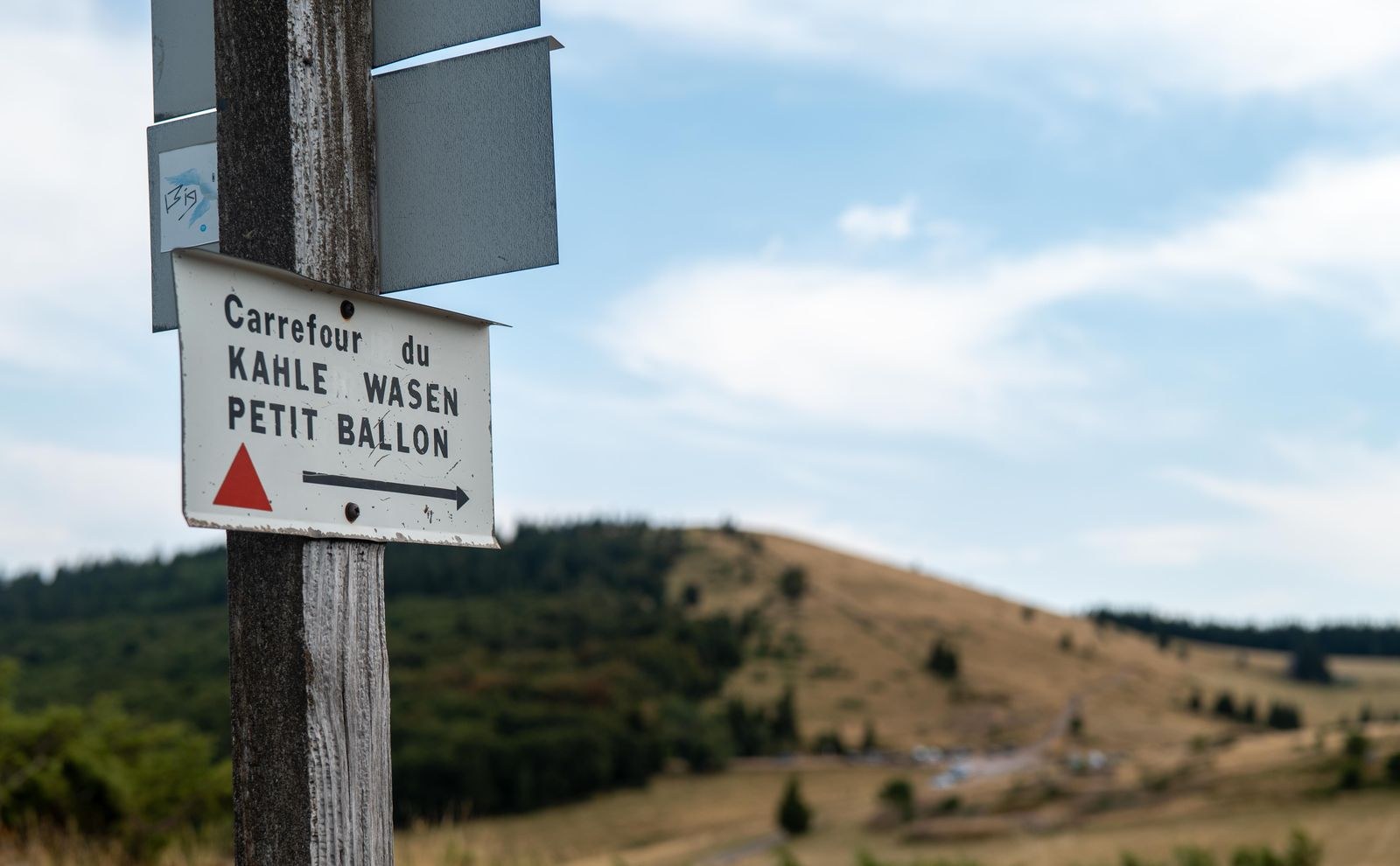
Keep the original official links with the record so that you can repeat the checks on another occasion. When sharing photographs, identify the place accurately and avoid implying that every Vosges outing resembles the pictured slope. A well-prepared day is built from a specific route, a specific journey and current conditions, rather than the general appeal of heading to the mountains.