Identify the departure point precisely
The Champ du Feu visitor website directs walkers towards the Rando Bruche route information and provides an access section. Use those local resources to identify the intended starting point and current travel information. A destination name entered into a navigation app may lead to a different facility from the trailhead shown in your route description.
Save the approach and the route as separate parts of the plan. Check where you can leave a vehicle or meet a companion, and how the first path connects to that point. If transport is part of the day, confirm the current service rather than borrowing a schedule from an old winter or summer brochure.
Match the route to the season and conditions
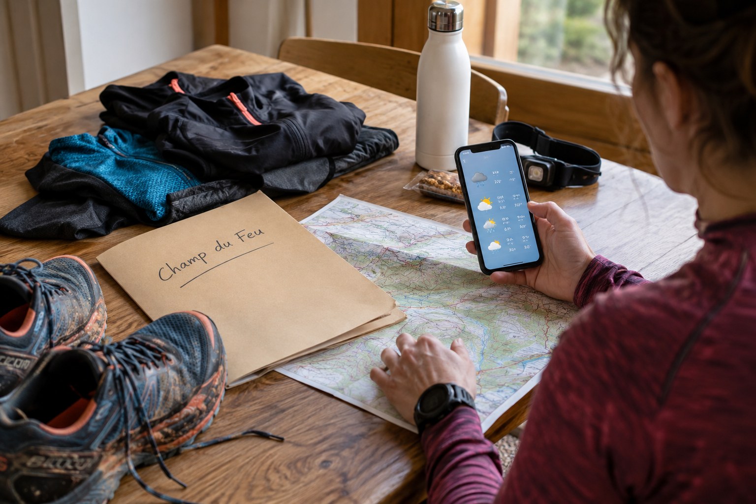
Read the intended itinerary’s description and profile, then compare it with the current forecast and local notices. A path that looks straightforward in a dry photograph may present a different problem with wet ground, poor visibility or wintry conditions. Do not treat the fact that a route can be downloaded as evidence that it is appropriate at the moment.
Decide what would make you change the outing before leaving Strasbourg or another starting town. A lower or shorter alternative should be identified in advance, with its own access checked. If no suitable alternative exists, postponing is a legitimate outcome of planning. The travel already imagined does not create a requirement to complete the original route.
Check the information you will carry
Download the relevant map and make sure it is actually available offline at a useful level of detail. Include the surrounding area and the return to the starting point. A narrow screenshot of a route line gives little help if you need to understand an unexpected junction or a closed section.
Keep any local contact or access information with the map, and tell a contact which outing you selected. Equipment should reflect the route and the possibility of moving more slowly or waiting, not only the clothing that feels comfortable at the car. Use items you know how to operate and do not rely on an unconfirmed open facility for a necessary part of the plan.
Repeat the check on arrival
Read signs at the departure point and compare what you see with the saved information. If the surface, visibility or access is unsuitable, use the prepared change of plan. Do not follow another person merely because they appear to know the area; their destination, equipment and experience may differ from yours.
Afterwards, keep dated observations about access and terrain. This article does not provide a live route-status report, and an illustration of map preparation is not a photograph of current Champ du Feu conditions. Reopen the local information before another visit. A reliable routine consists of checking again, not assuming that the previous successful outing settled the question permanently.