Anchor the research to one description
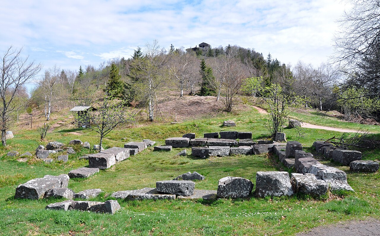
Local tourism information includes a themed walking route called Le Donon, montagne sacrée. Use an identifiable official route description to establish which approach you are considering. Keep the edition or date where available and check the accompanying map rather than relying only on the photograph of the summit.
Do not assume that every route with Donon in its title begins at the same place or uses the same return. Write the exact start location and route direction in your notes. If you combine information from different sources, check that they are describing the same section before treating their distances or terrain comments as interchangeable.
Read the climb and the descent together
Look at the height profile alongside the map and identify the main changes in terrain. A destination-focused plan can give the climb all the attention while leaving the descent unexplored. Check the return path, junctions and any section where slower movement may be appropriate.
Keep the outing flexible enough to walk. A trail run does not require every metre to be run, and a popular viewpoint is a place to give other visitors space. Stop in a suitable area for photographs rather than looking through a screen while moving over uncertain footing.
Keep conditions in the decision
Review the current forecast and local access notices before setting off. On arrival, use the signs and visible conditions to confirm or change the plan. A clear summit photograph from another season does not establish the surface or visibility you will meet. If the route is unsuitable, a shorter visit or a return from an earlier point remains a valid day out.
Carry a map that includes more than the narrow route line and make sure you understand how to return to the selected starting point. Do not depend on an unverified shortcut to recover time. Tell your contact the actual route chosen if you change it before departure.
Record what you learned, not a permanent promise
After the visit, note the route direction, access point and places that were difficult to identify. Keep the date with your observations. This article does not supply a surveyed running circuit or claim that a particular passage is always open. Its purpose is to help you turn a well-known destination into a specific, checked outing that matches the conditions and your experience.