Start with an identifiable published route
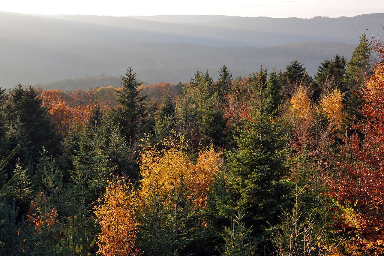
Visit Alsace publishes a walking-route entry for Mont Sainte-Odile and describes the site as a rocky outcrop above the Alsace plain. Use the official entry to orient your research, not as proof that a walking itinerary is automatically suited to your preferred running pace. Open the map and description together and check which starting point they refer to.
Keep the destination and the route separate in your notes. Two outings reaching the same place may have very different approaches, surfaces and amounts of climbing. Do not combine the outward section from one shared track with a return from another until you have checked the connection on a current map and understood the access.
Identify where the outing changes character
Look for the transitions between wider paths, narrower sections and the immediate visitor area. Mark places where you would expect to slow down, walk or stop to navigate. A destination that attracts walkers and visitors is not a place to insist on an uninterrupted training rhythm. Leave room for other people and respect signs at the site.
Check the return before adding an extra viewpoint or loop. An extension that looks small on a map can alter the climb, surface or time needed to get back. Decide in advance what you will omit if the outing takes longer than expected. The original purpose of the day should not be lost because another line on the screen looks inviting.
Make a small comparison if several approaches remain attractive. For each, note the verified departure, the main climb, the return and the point at which you could abandon an optional extension. Do not combine the most appealing photograph from one approach with the easier-looking profile of another. Keep each route’s documents together so that the selected plan describes one coherent outing.
If the visit is shared with someone who is walking, agree whether you are travelling together throughout or meeting at a specific place. A shared destination does not guarantee a shared arrival time or an accessible meeting point from both approaches. Establish what happens if either person changes their route, and avoid making a narrow time appointment the reason to hurry on unfamiliar ground. The coordination belongs in the plan alongside the map, particularly when the journey home depends on both people returning to one departure point.
Keep the plan conditional
Review current local information and the weather close to departure. A published route describes an itinerary, not the condition of every stone or branch on the day you arrive. If the ground or access differs from what you expected, choose the simpler option or turn back. Reaching a named destination is not a reason to continue through an uncertain passage.
Save the route and surrounding map offline, and note the actual start location for the journey home. Afterwards, record the direction taken and any junction that deserves attention next time. Keep observations dated and distinguish them from the official description. This article provides a research sequence rather than a measured running circuit, allowing you to choose a route that matches current information and your own experience.