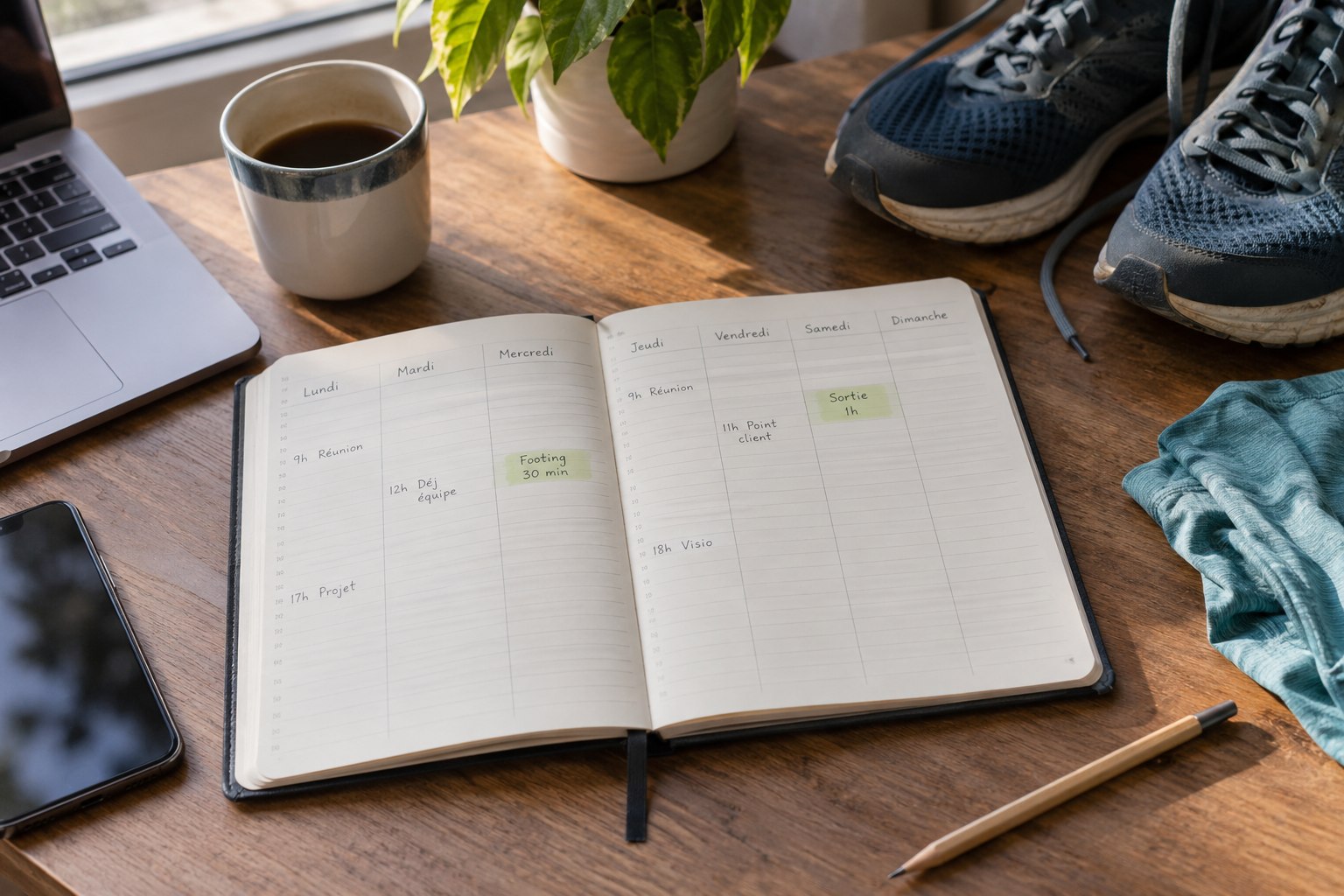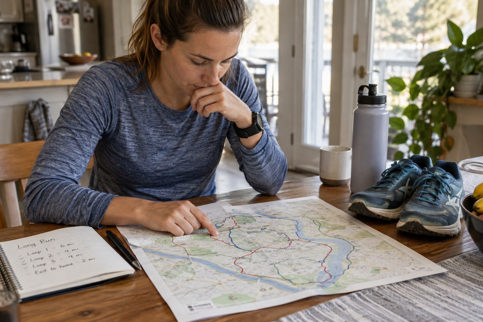
Define the outing before drawing the line
Decide what makes this outing long in your own current context. There is no need to borrow another runner's distance. Start with the time you can set aside, the kind of terrain you understand and the purpose of the day. A route that fits those boundaries is more useful than a striking shape on a map.
Include the return journey and the possibility of walking. A distant finish can require transport, waiting and extra clothing. Check those arrangements separately rather than treating them as something to solve after the running has ended.
If you follow a training plan, keep its intended role in mind. A route-planning exercise is not a reason to add distance, ascent and difficult ground at the same time. The attractive detour may be better saved for another visit.
Build exits into the route
Identify points where you can finish earlier without creating a new problem. A short loop repeated from a known base can offer more flexibility than a large circuit with no connecting paths. An out-and-back is simple to understand, but remember that every outward section must also be returned along.
Check that proposed shortcuts are real and accessible. A path drawn on a map does not itself establish permission to use it; the IGN makes that distinction explicitly. Local signs, land-management information and current restrictions still matter.
Name the decision points in a way you can recognise on the ground. 'The signed junction before the second bridge' is more useful than an arbitrary distance on a watch. Save enough surrounding map information to understand the alternative, not just a thin line showing the preferred route.
Check the gaps between useful places
Look at the sections between access points, shelter and any supplies you intend to use. Do not assume a café, tap or public toilet is available merely because an old map symbol suggests it. Verify important facilities from current local information, or plan without relying on them.
Choose what to carry according to the actual route and conditions. Check weather information for the area rather than only your home address. If the route crosses exposed or unfamiliar terrain, think about how the conditions could affect the return and whether a different option would be simpler.
Keep essential items accessible. Navigation equipment buried beneath spare clothing is awkward at a junction, and a jacket that requires emptying the bag is inconvenient when conditions change. Test the packed arrangement before leaving rather than using the long outing as its first trial.
Set decisions that do not depend on optimism
Choose a latest point for turning or shortening based on the return you need. If reaching a landmark takes longer than expected, use the shorter option early. Do not preserve the longest version solely because it was the original plan.
Share relevant route and return information with someone when appropriate, especially for a solo outing away from familiar populated areas. Understand the limits of phone reception and battery life. A live-tracking feature is not a replacement for knowing where you are and having a workable return.
At junctions, stop in a suitable place to read the map. Continuing while trying to resolve uncertainty can turn a small navigation question into a longer wrong turn. Recheck the route whenever what you see no longer matches what you expected.
Keep the useful observations
Afterwards, record which exits were clear, which surfaces slowed you and which assumed facilities were actually available. Keep those notes dated because access and opening arrangements change. A successful visit is information about that day, not a guarantee for the next one.
Judge the planning by the options it provided. Finishing a shorter version because it suited the day can demonstrate that the route was well designed. The longest line is not automatically the best outcome; a route that lets you make a clear, timely decision is often the more useful plan to keep.