Identify the kind of evidence you have
Begin with the track's origin. Was it recorded during an ordinary outing, drawn as a future suggestion or supplied for an organised event? A recording can include wrong turns and stops. A planned line may never have been travelled. An event route may rely on arrangements that do not apply outside the event.
Look for a date, direction of travel and description of the starting point. If those are absent, write them down as unknowns rather than filling them in from the filename. Also check whether the file contains one continuous route, alternative branches or separate segments. An unexplained gap is a planning question, not an invitation to follow a straight line across the landscape.
Keep an untouched copy while you investigate. That lets you distinguish the original author's route from changes you make yourself. Give your edited version a clear name and record why you changed it, especially when a modification replaces an uncertain connection with a known public route.
Compare the important connections first
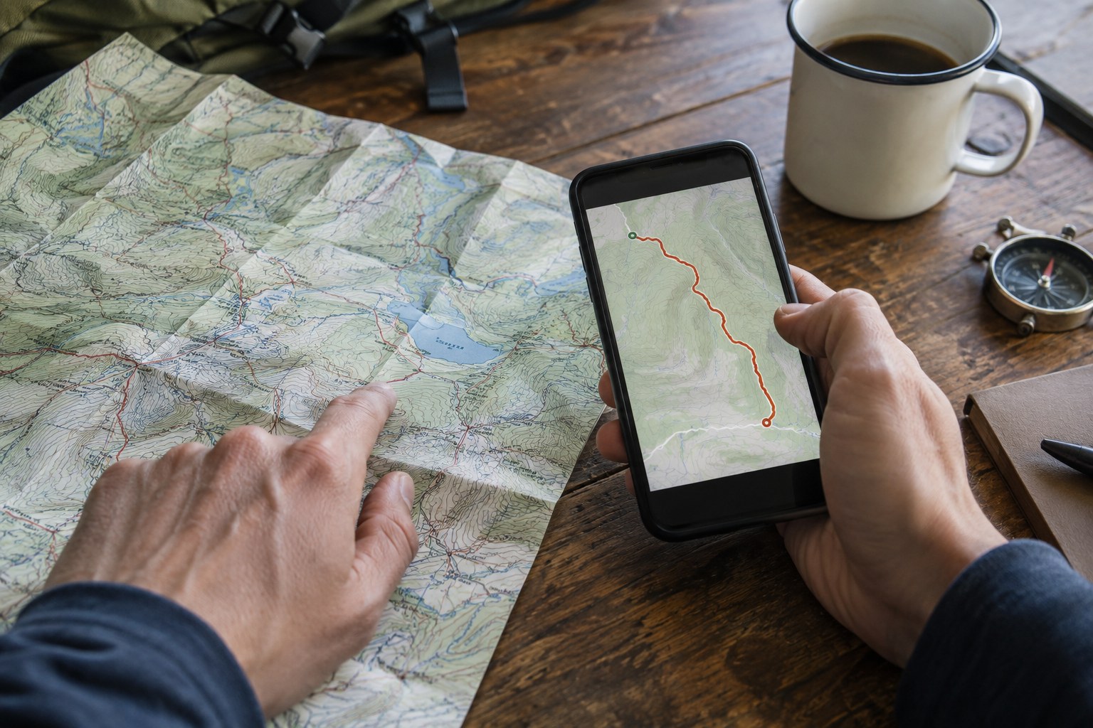
Display the track over a suitable detailed map and examine road crossings, bridges, settlement edges and changes from broad routes to small paths. You do not need to investigate every metre equally. Concentrate on places where a missing connection could force a substantial retreat or an unacceptable detour.
A line crossing a river on screen deserves particular attention. Locate the actual crossing shown on the map and check the relevant current access information. Do not assume that two intersecting lines imply a bridge or that a nearby road provides pedestrian access. Where the evidence disagrees, keep the crossing unresolved until a reliable source explains it.
IGN notes that showing a path on a map does not establish a right of access. Apply that distinction to the uploaded track too: a line is useful geographic evidence, but it cannot grant permission to cross land. Current signs and instructions from the responsible authority matter.
Next, follow the shape of the route through the relief. Ask where a climb begins, where a descent ends and whether the apparently direct option takes you through terrain you intended to avoid. Compare those decisions with the outing's purpose, rather than letting a neat loop outline become the objective.
Resolve disagreements without inventing certainty
Suppose the shared track leaves a mapped path, runs across an unlabelled area and rejoins it farther on. Possible explanations include recording error, a real but unmapped connection or a shortcut that should not be followed. The shape alone cannot tell you which explanation is correct. Ask the route publisher or manager, or choose a verified alternative.
If you retain an uncertain section for later reconnaissance, make the uncertainty explicit and approach only where access permits. Keep enough time to return without resolving it. The task is to learn what is there, not to make the uploaded line true by forcing a passage.
Your final route note should distinguish checked details from assumptions: source and date of the track, map consulted, access notices reviewed, chosen start and unresolved points. Share the edited file only with that context. Another runner needs to know why a line changed and what still requires checking, not simply receive a cleaner-looking shape.